Bedrock Exposures in Baird Creek
Steven Dutch, Professor Emeritus, Natural and Applied Sciences, University of Wisconsin - Green Bay
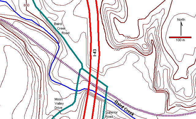
Locality Map
The localities described here are in Baird Creek west of Highway I-43.
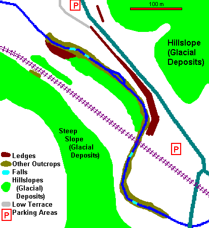 |
At left is a simplified geologic map of the bedrock exposures west of I-43. There are more bedrock exposures than a casual inspection suggests, but many of them are only obvious when the trees are bare.
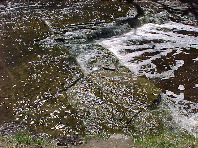
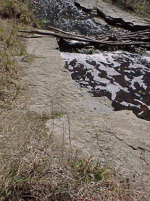
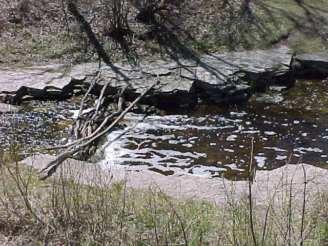
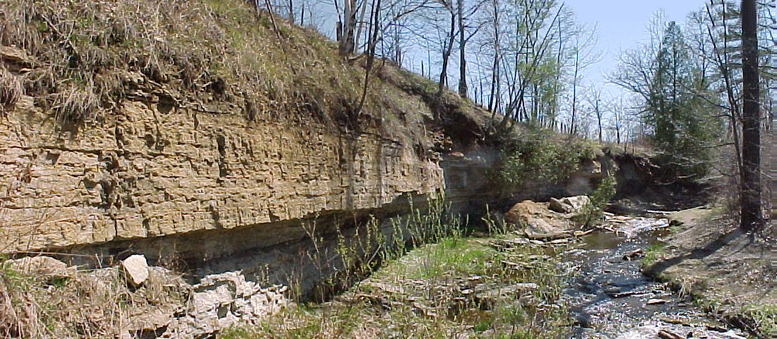
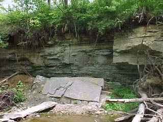
The outcrops end abruptly and the northwesternmost of them are 5m and more above the level of the stream. This suggests that when the glaciers first melted, and Baird Creek was carrying much more water than at present, there may have been a low waterfall perhaps 5m high flowing over a rock ledge. Since all the rocks are of uniform hardness, the falls would not have retreated as a steep falls but would have stripped away layers piecemeal to create the present stream with numerous low falls and small rapids. |
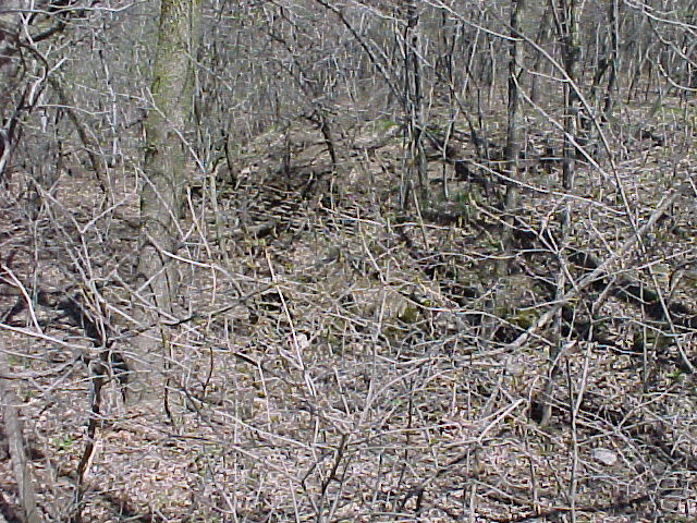
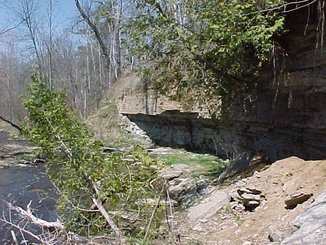
Exposures Near North Parking Area
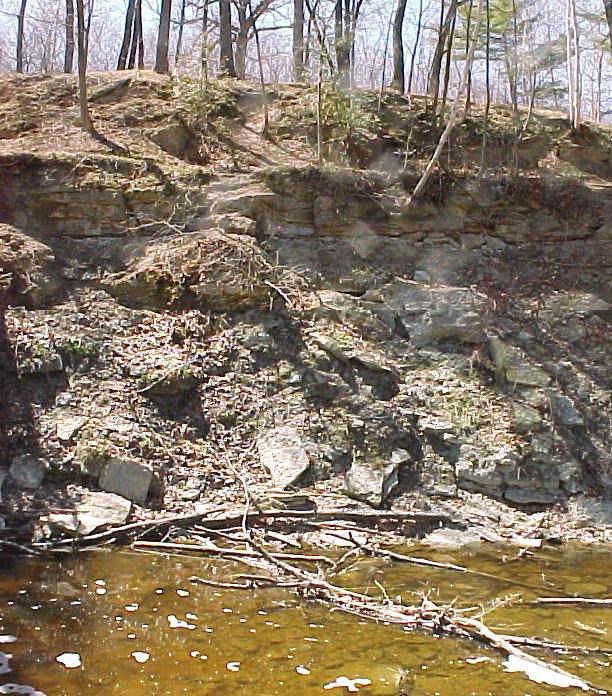
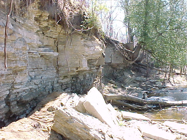
Westernmost Exposures in Baird Creek
Return to Geology of Wisconsin Index
Return to Geologic Localities Index
Return to Professor Dutch's Home Page
Created 26 April 2000, Last Update 26 April 2000